Glacier Peak Wilderness
Glacier Peak Wilderness
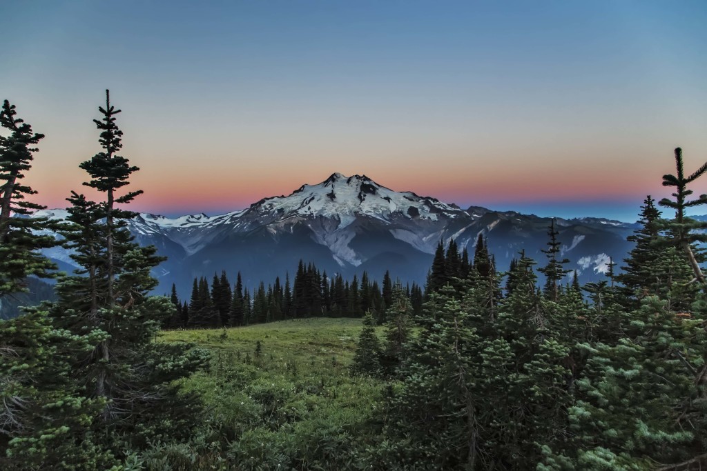
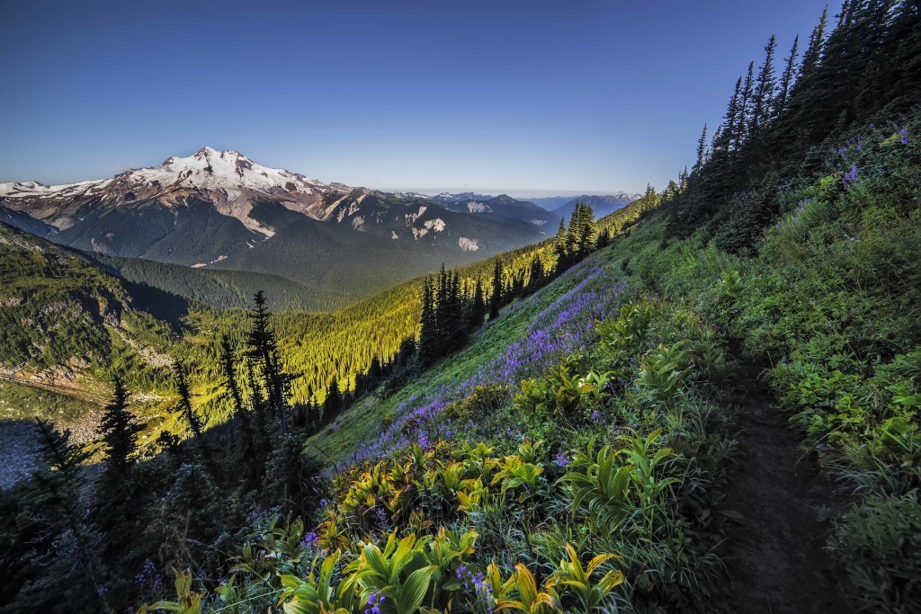
The 566,057 acre Glacier Peak Wilderness is located in the northern Cascade Mountains of Washington State bordering Stephen Mather Wilderness to the north and Henry M. Jackson Wilderness to the south. At 10,541 feet, Glacier Peak is the dominant geologic feature of the area. It’s the most remote major volcanic peak in the Cascade Range and has more active glaciers than any other place in the lower forty-eight states. Glacier Peak is a volcanic cone of basalt, pumice, and ash which erupted during periods of heavy glaciation.
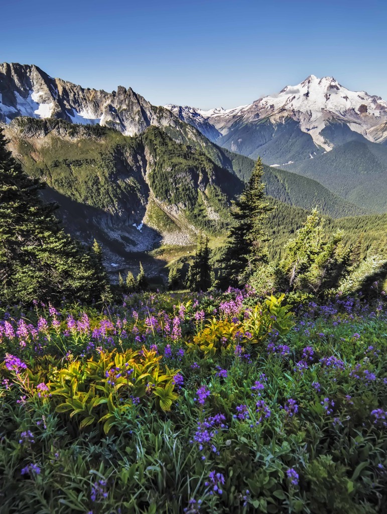
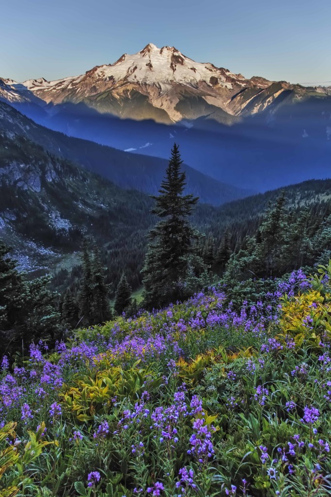
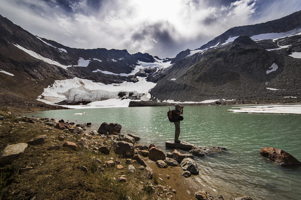
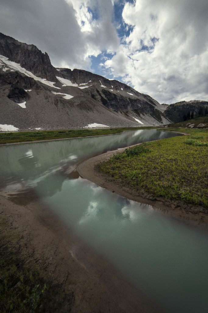
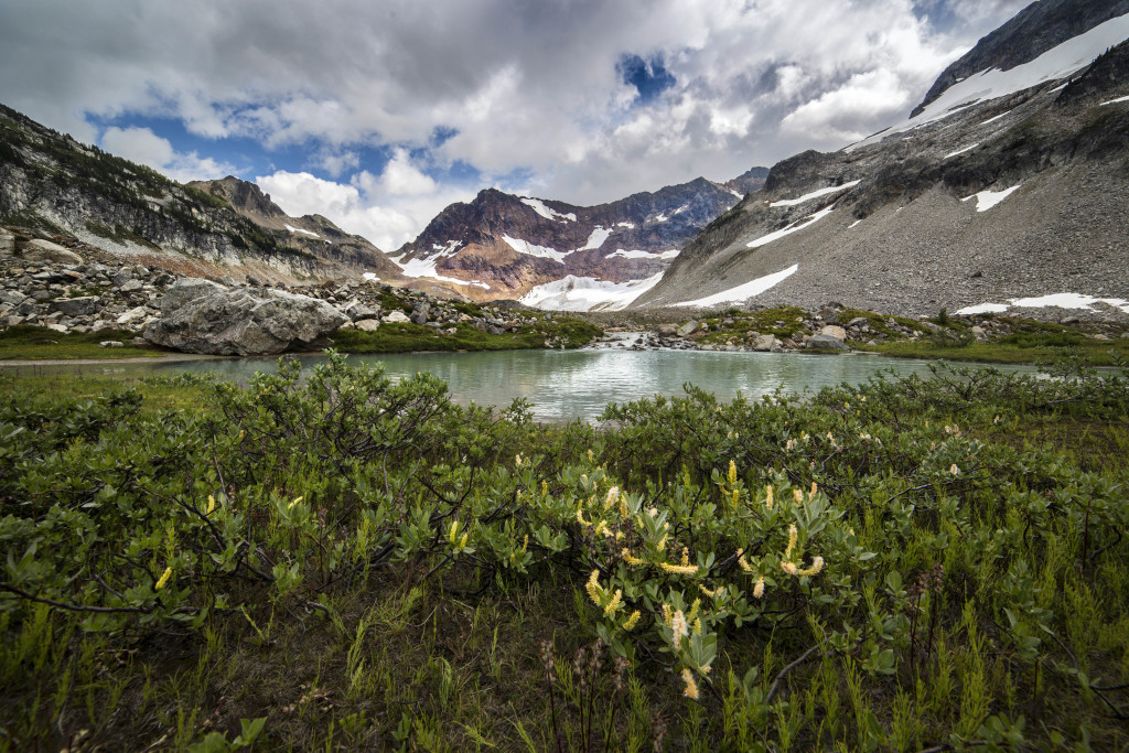
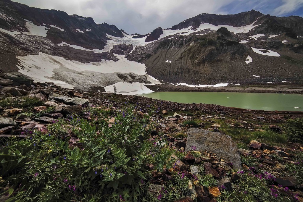
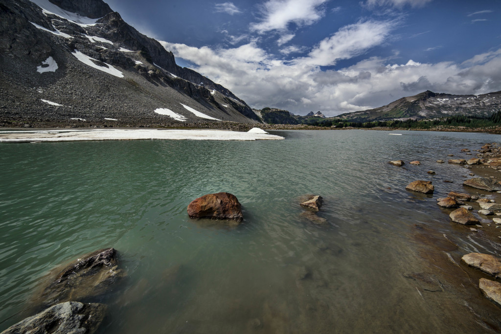
My last trip took me to Buck Creek Pass and the side trail (where I captured these images) along the west side of Liberty Cap and on to High Pass.
The area is characterized by heavily forested stream courses, steep-sided valleys, and rugged glacier covered peaks. Forest vegetation is comprised of true firs, spruce, and hemlock, as well as stands of pine on its eastern slopes. Various species of wildlife inhabit the area and include deer, elk, bear, mountain goat, cougar, marten, and lynx. This area also provides habitat for wolverines and gray wolves. The primary fishery is cutthroat trout. Numerous creeks cut through the valleys from their sharp drainages. Other bodies of water include more than 200 lakes, many unnamed and tremendously difficult to access. Snows can accumulate to depths of 45 feet on the west side of the crest.
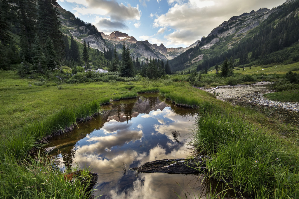
These images are from the Spider Meadows access, through Spider Gap and down to Upper Lyman Lake. The night sky image is Glacier Peak.
Prints of these images are available here. Find out more about Guided North Cascades Photo Tours here.
- Spider Meadows
- Glacier Peak
The ~450 miles on as many as 100 trails vary from relatively easy hiking on maintained footpaths to strenuous and seldom used old animal trails. The Pacific Crest National Scenic Trail (PCT) follows the crest through the area for about 60 miles.
