SKAGIT VALLEY
My love affair with Skagit Valley started almost 50 years ago when I was 18, growing up in southeastern Pennsylvania.
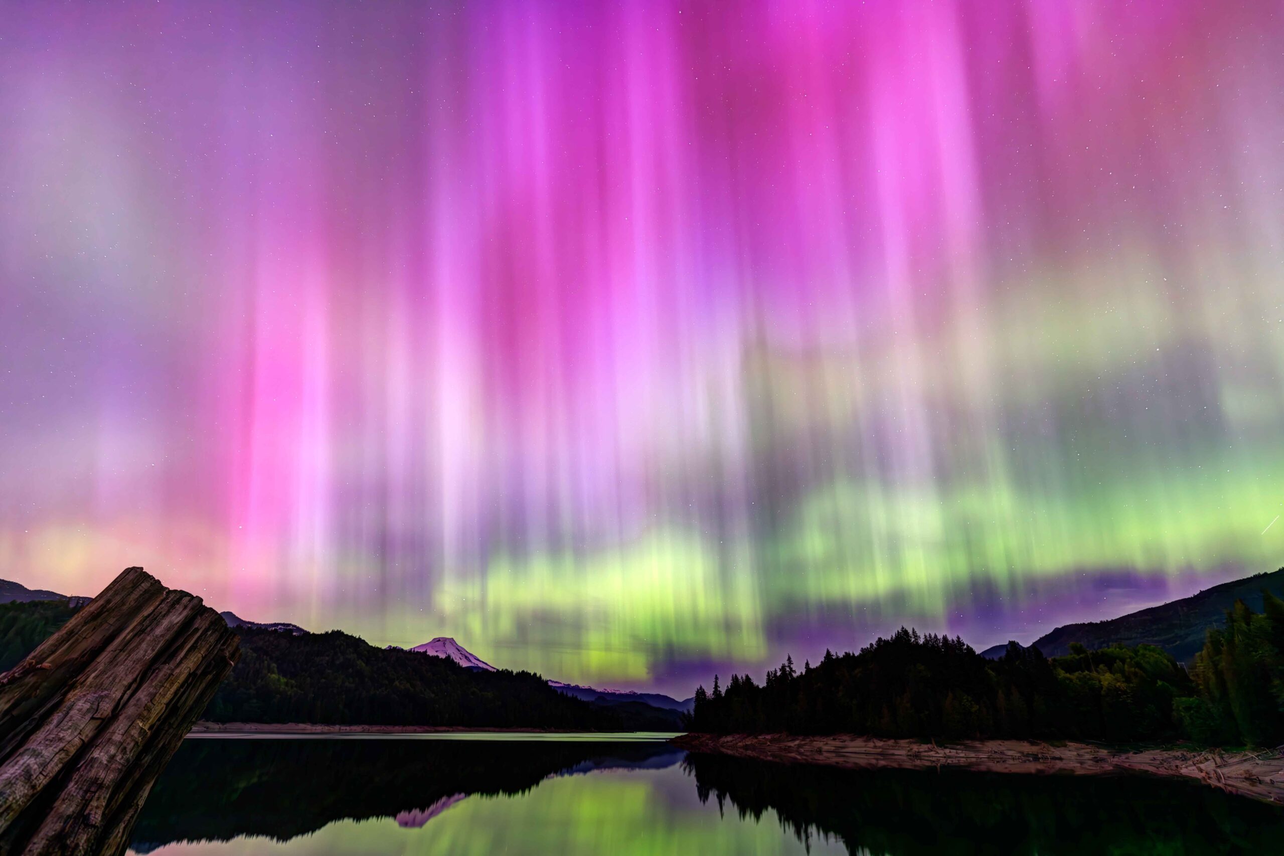
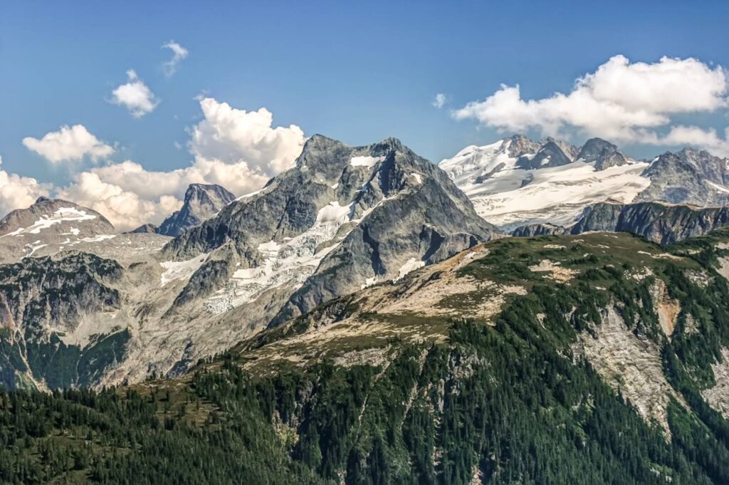
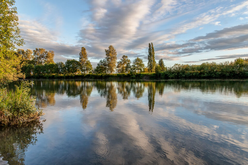
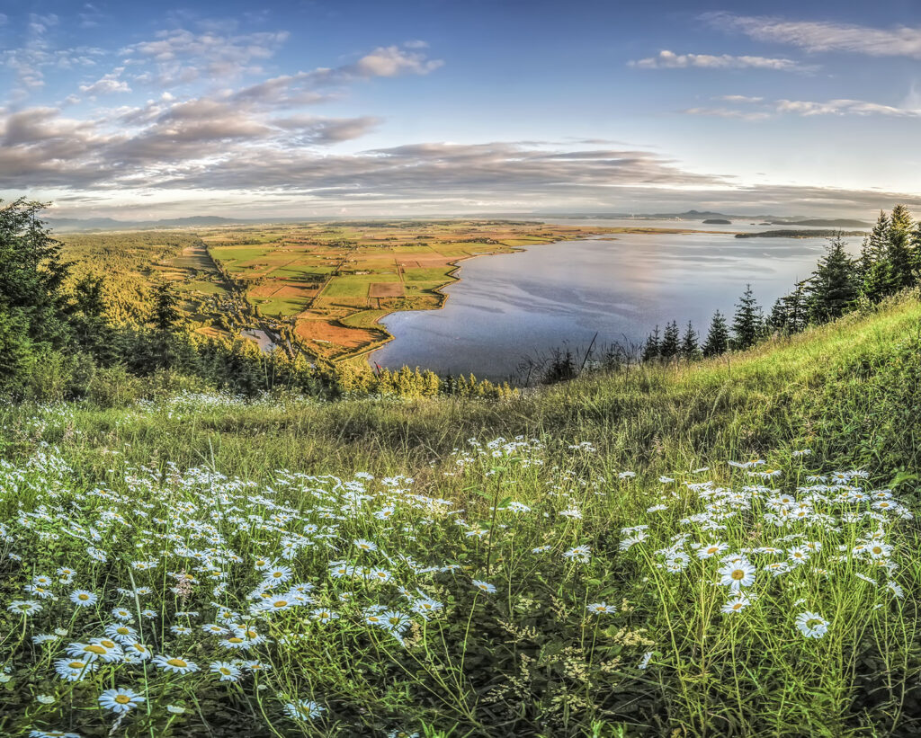
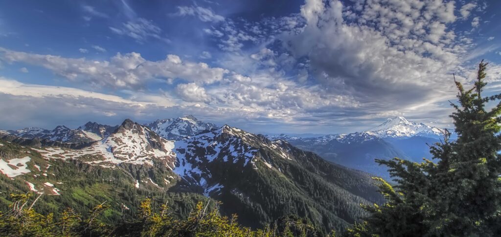
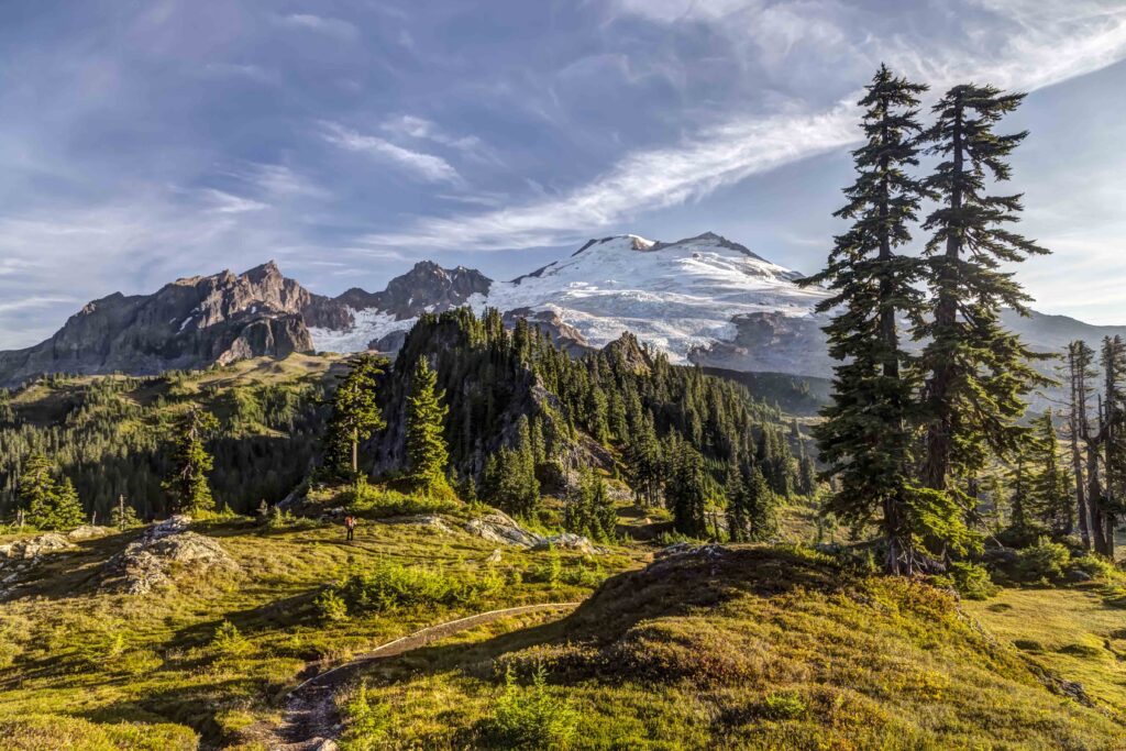
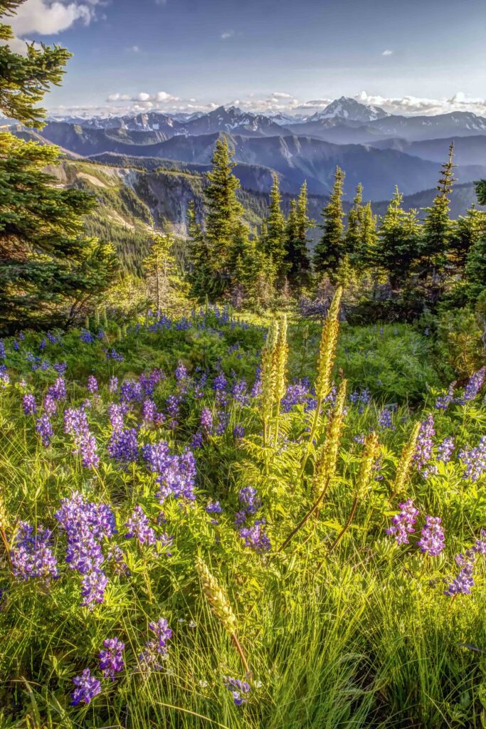
Skagit Valley from Sauk Mountain
In 1976 one of my friends found a recent Nat Geo with an article about a backpacker who’d hiked from Mexico to Canada, through California, Oregon and Washington along the Pacific Crest Trail. Several of us had recently finished a month long Outward Bound program in the Sawtooth Wilderness of Idaho, backpacking and rock climbing and we were excited for a new adventure.
A few glances at the images in the magazine and I was sending away for maps. When they finally arrived in the mail I poured over them, tracing the PCT and looking at the terrain.
It was the first time I’d heard of places like the Pasayten Wilderness and Crater Lake. At that time there was little to read about the trail, most of the planning for a thru hike was up to you.
When you study a map, planning mileage, elevation gain and water sources you try to envision the place. There were more then 20 maps for Washington and Oregon I sorted through, tracing the PCT and making plans. The place I was most captivated with, the most excited about visiting was the North Cascades. The Northern-most stretch of trail runs east of Ross Lake, through Cutthroat and Harts Pass and then along Lakeview Ridge. The place that totally captivated me was the Picket Range, the most inaccessible corner of the entire North Cascades range.
First of all, it was clearly the most rugged section. There were other sections with higher summits, like Mt Rainier and Mt Adams. But those giant peaks were surrounded by much smaller mountains. The North Cascades boasted the greatest density of topographical map lines. I imagined wave after wave of serrated ridges; steep U-shaped valleys, cloaked in green and mantled with glaciers. The names of the places fueled my imagination: Mount Terror, Mount Despair and Mount Fury (in the Picket Range). Nearby was Desolation Peak, Forbidden Peak and Diablo Lake. I couldn’t wait to get there. The only problem was that it wasn’t the easiest place to get to!
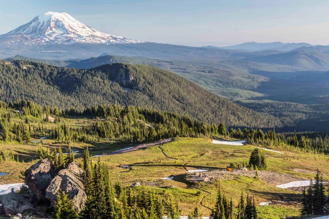
Mt Adams and the Pacific Crest Trail
In the end we decided to hike the PCT through Oregon. We hitchhiked from eastern Pennsylvania along Interstate 80 to Cascade Locks, Oregon, on the Columbia River and started our journey on the Pacific Crest Trail headed southbound. We made it as far as Crater Lake and then split up and hitchhiked back east.
My travels led me to many places on 5 continents, but I never stayed in one place very long. Decades passed. But the allure and wonder of this place I’d never seen stuck with me.
In 2004 I moved to the Skagit Valley and got a place to live and work in Sedro-Woolley. I started to explore the North Cascades. Finally in 2006 I was able to enlist my best friend for a 9-day trip. The route was from the Mt Baker Highway, hiking over Hannegan Pass, then along Copper Ridge, steeply down to the Chiliwack River, and up to Whatcom Pass. There are few trails in the northern section of North Cascades National Park. From Whatcom Pass we made if down the Little Beaver and Big Beaver Creeks to Ross Lake and hiked back to Highway 20. Here are some images from that trip:
North Cascades
-
- Northern Picket Range
-
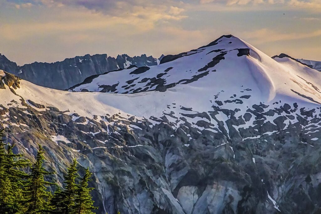
- Whatcom Peak and Mt Challenger
-

- Mt Challenger from Whatcom Pass
-
- Ruth Mountain
-
- Ruth Mountain from Hannegan Pass
-

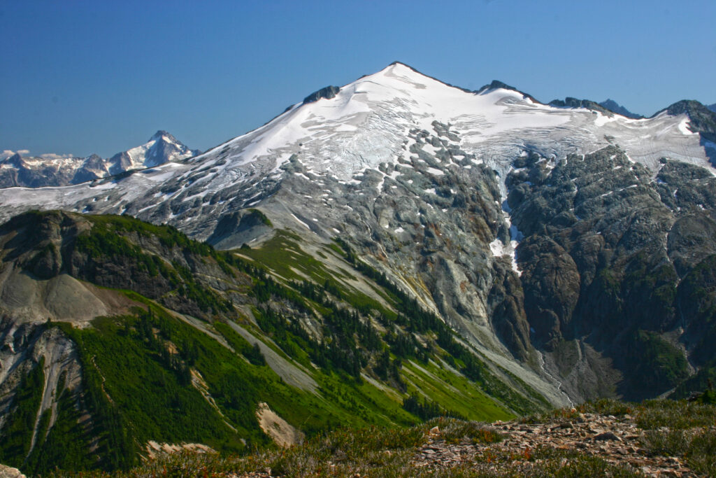
- Ruth Mtn and Mt Shuksan from Copper Ridge
-

- Mount Shuksan from Copper Ridge
-
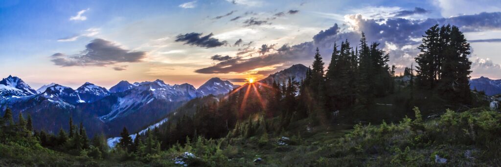
- Sunset from Copper Ridge
-

- Forbidden Peak
-

- Sunset from Devils Dome
Skagit Valley
I’ve never been able to stay in one place for very long. Internal or external forces always seem to drive or pull me away. For 20 years now, I’ve lived in the valley. It’s by far the longest I’ve ever managed to stay put.
Skagit Valley has a hold on me, somehow. I felt it the very first time I drove down the hill into the valley: I felt like I’d come back home. Near the river I feel like I’ve been here before in another life. Things are familiar.
Of all the places I’ve traveled and lived I always had a knowing that they were temporary. Just stops along the ride. Skagit Valley was always the place was I headed for.
A friend asked me to explain what captivates me about this place. This is my answer.
North Cascades Wildlife
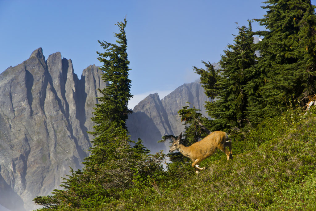
At various times I’ve crossed paths with quite a few amazing creatures and have managed to capture a few images.
-

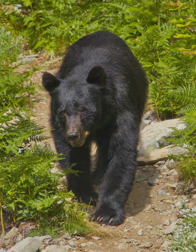
- Bear on the Pacific Crest Trail at North Fork Bridge Creek, North Cascades National Park
-
- Basin Creek Trail
-
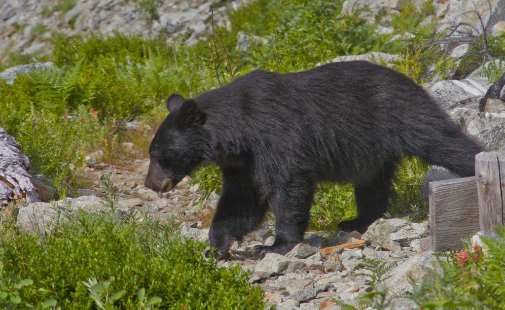
- Basin Creek Trail
-
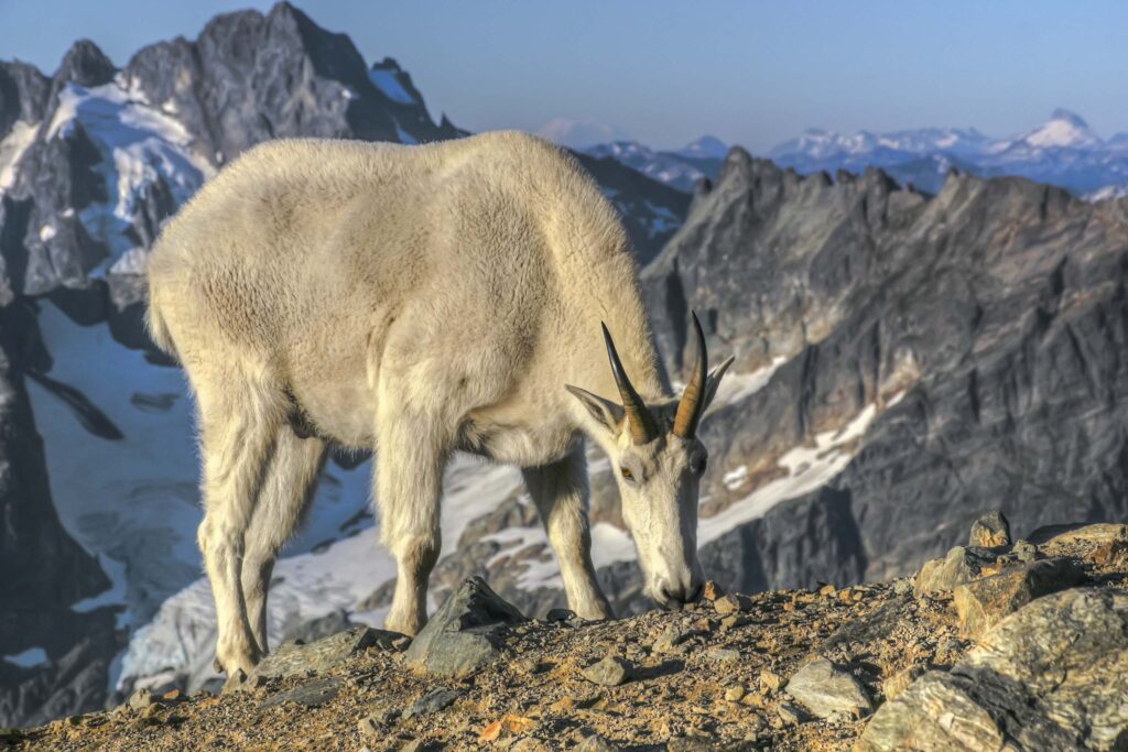
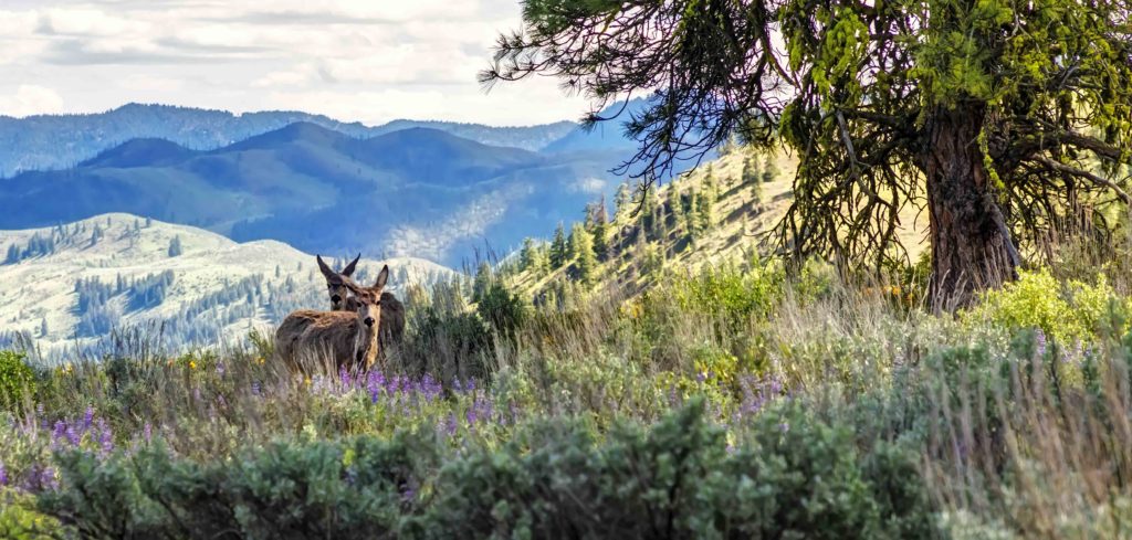
- North Cascades Goat
-

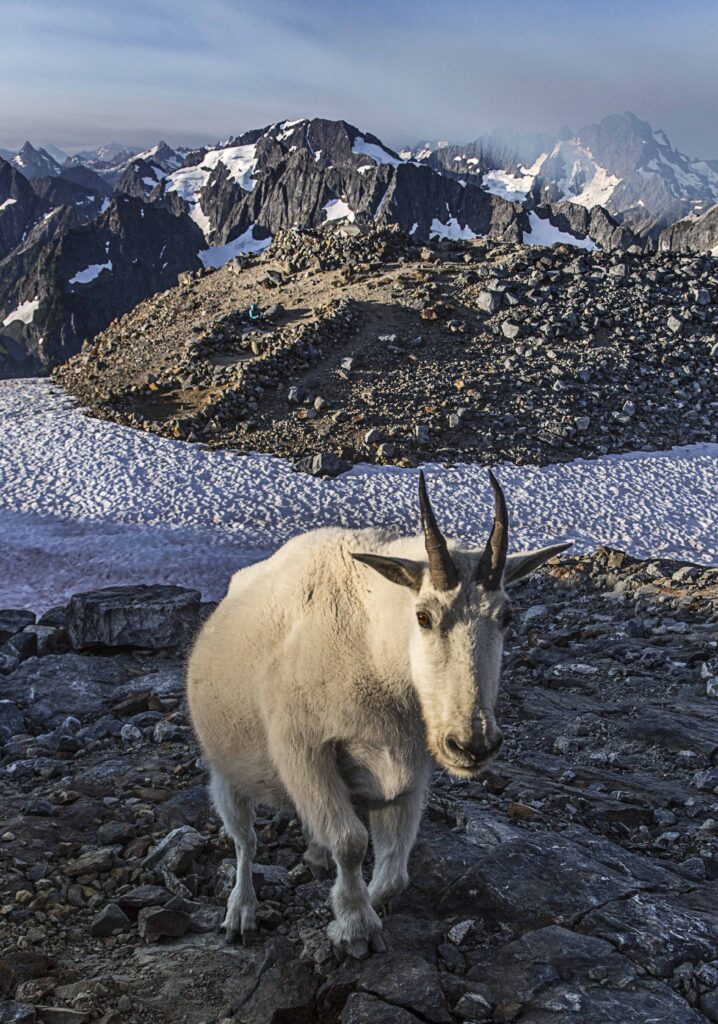
- Mountain Goat
-

- Enchantments
-
- Sahale Camp
-

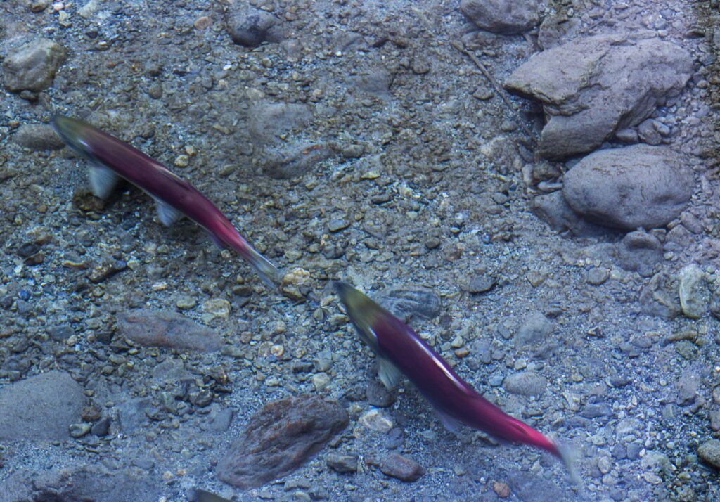
- Chilliwack River Salmon
-
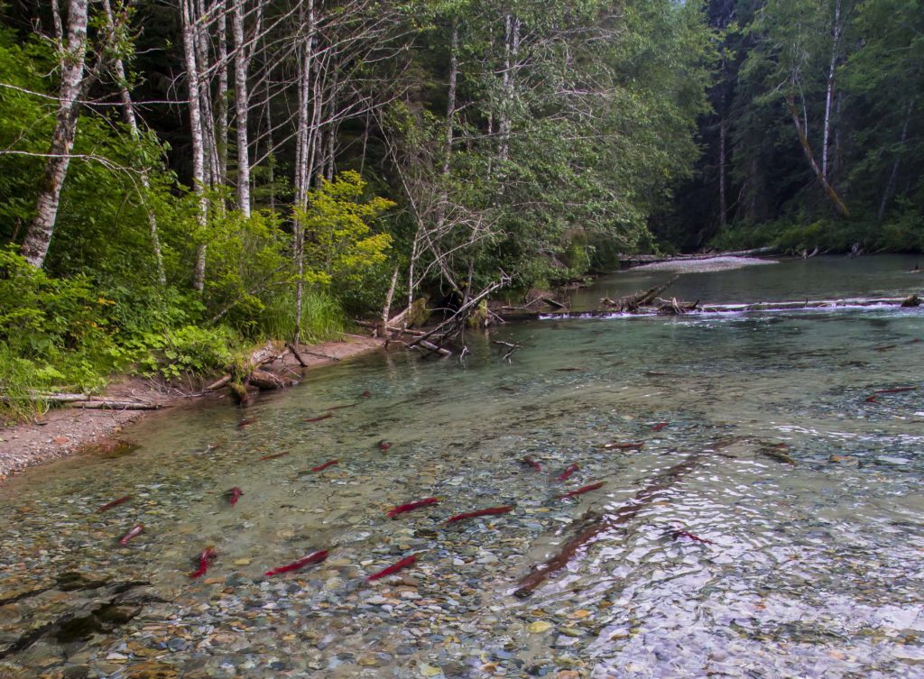
- Chilliwack River Salmon
-

- Baker River
-

- Chilliwack River Salmon
-
- Baker River
-
- Sun Mountain
-
- Cascade Pass
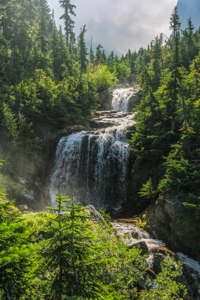
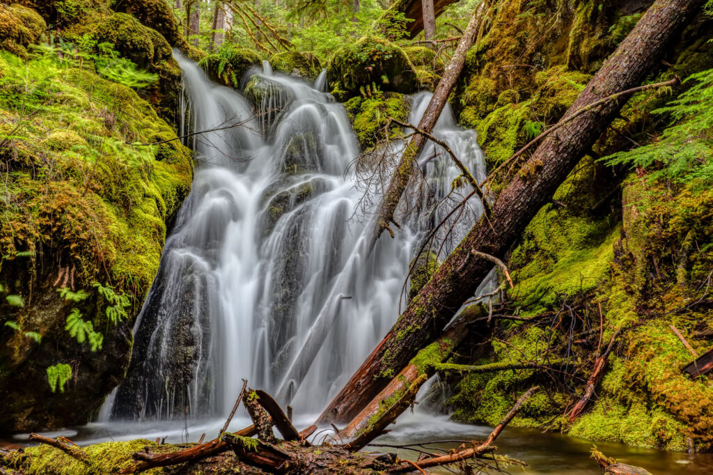
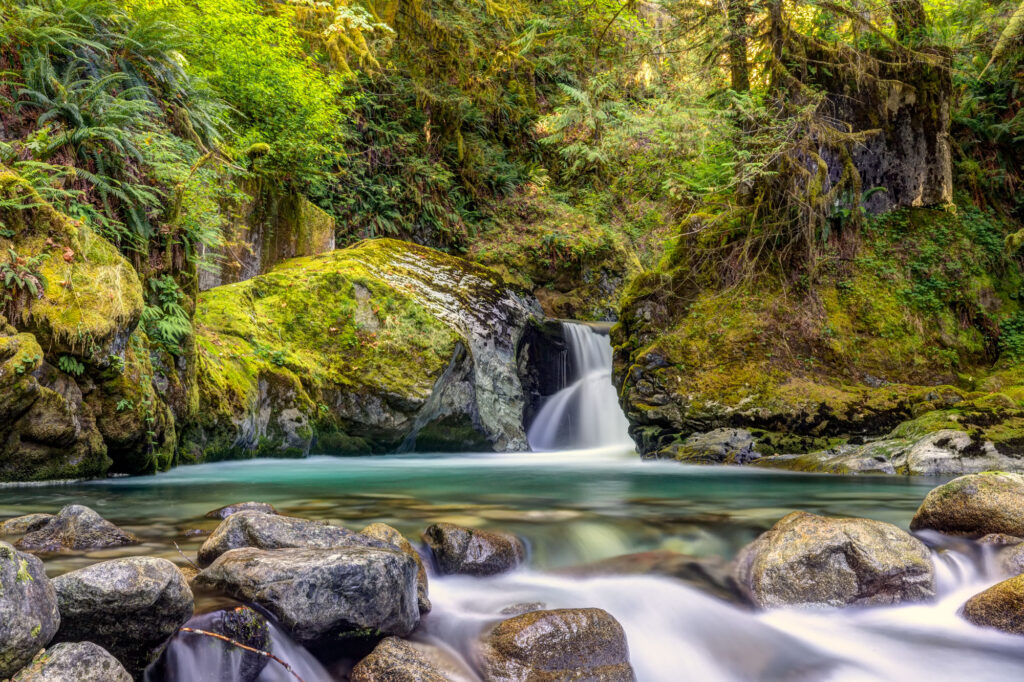
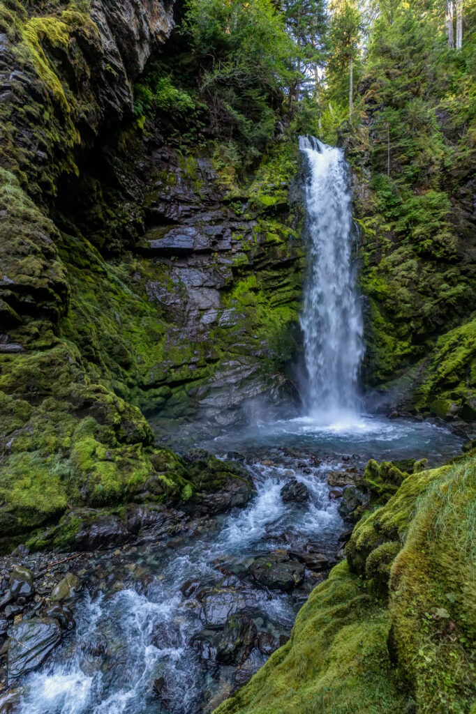
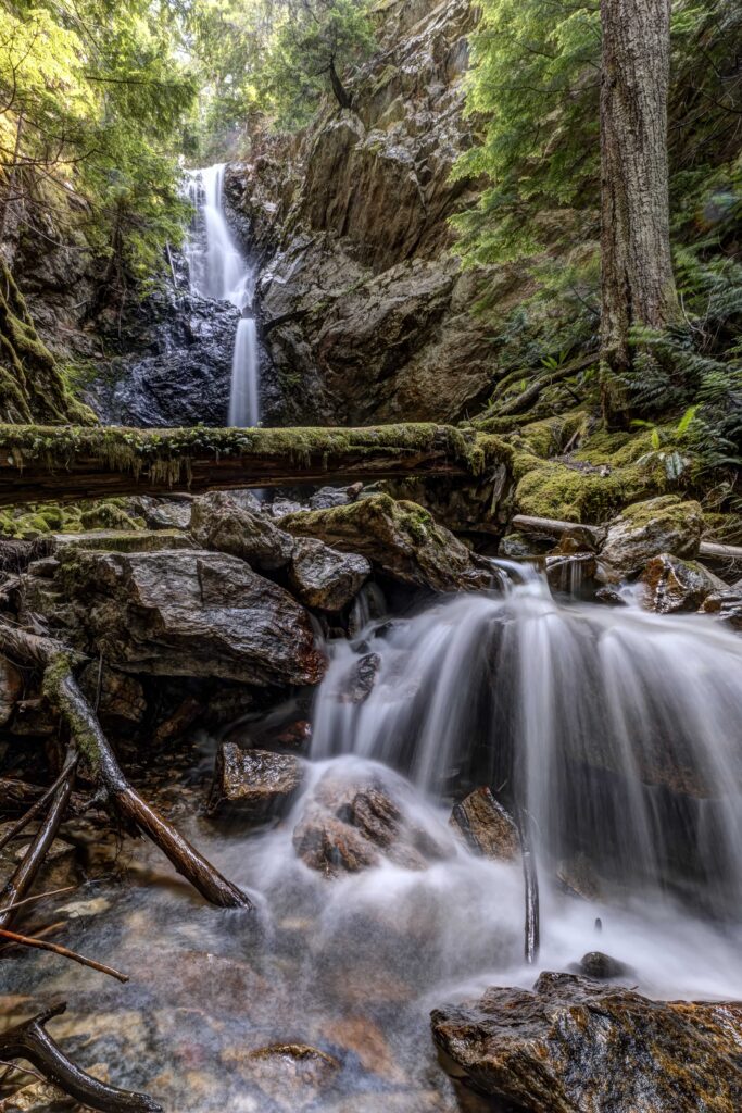
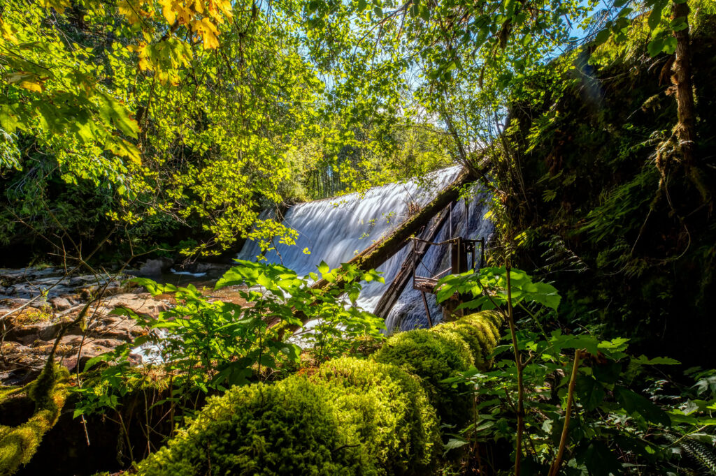
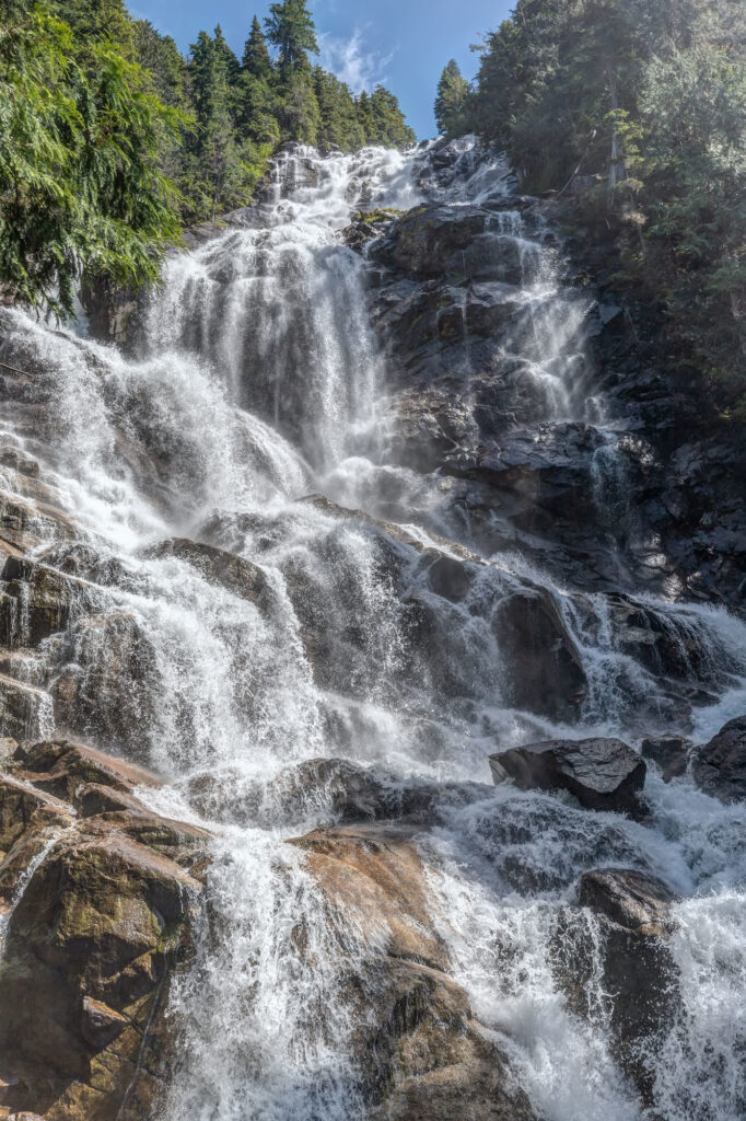
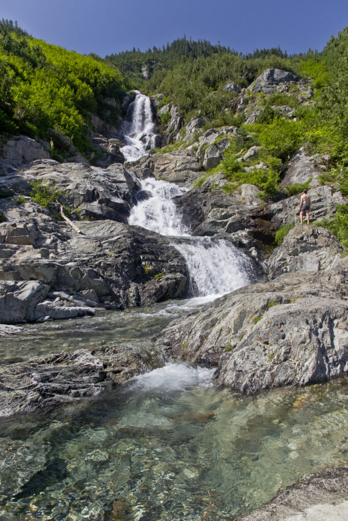
Waterfalls
The North Cascades has more waterfalls than you can count! Encountering any waterfall in the back country is always a blessing.
-

- North Fork Bridge Creek
-
- Thunder Creek
-
- Forest Glen Falls
-
- Teepee Falls
-
- Wells Creek Falls
-
- Ross Lake Trail
-

- North Fork Sauk River
-
- Bear Creek
-
- Jordan Creek Falls
-

- Rainbow Falls
-

- Horseshoe Basin
-

- Highway 20
-

- Day Creek
-
- Doubtful Creek
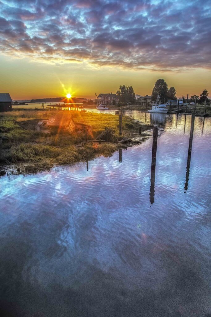
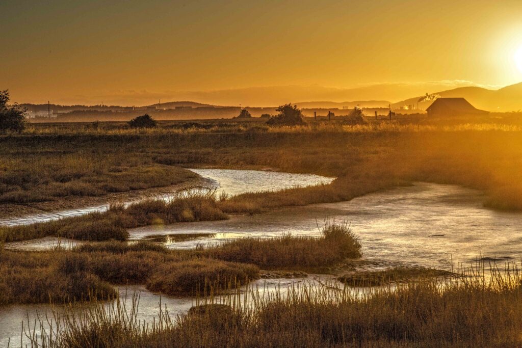
The Skagit River
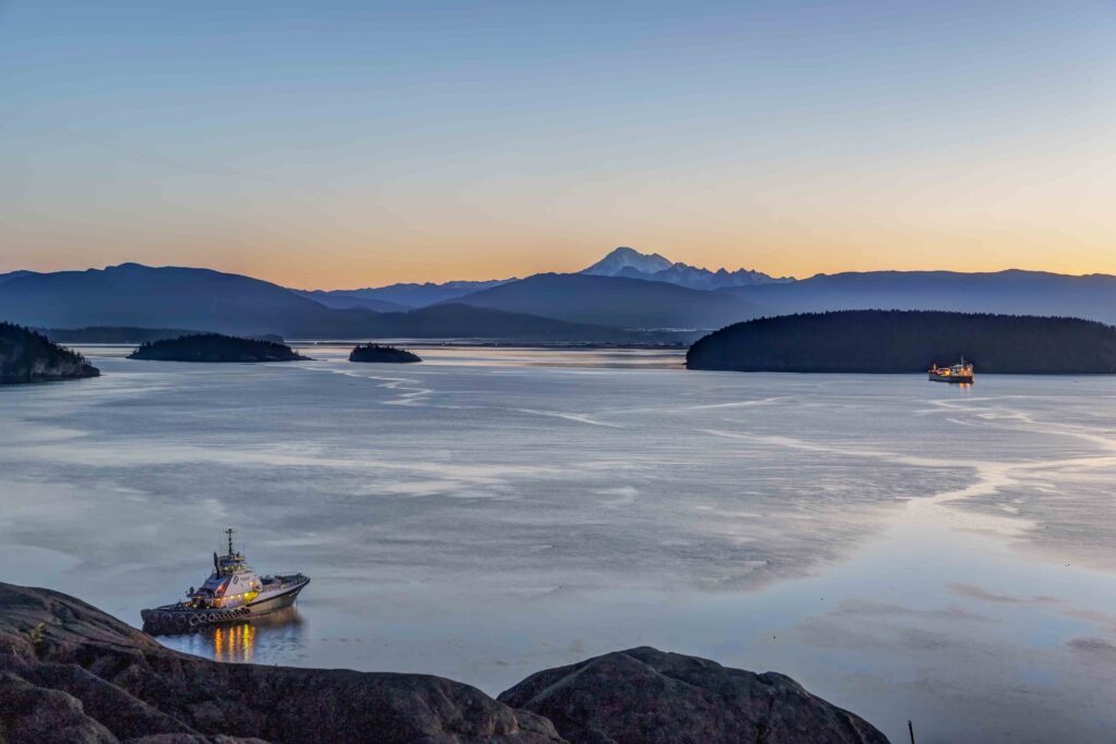
The Skagit River begins in Canada and runs south into the US and then west, through the heart of the North Cascades Range emptying into Skagit Bay and Puget Sound near the Town of La Conner.
-

- Skagit River and Mt Baker
-
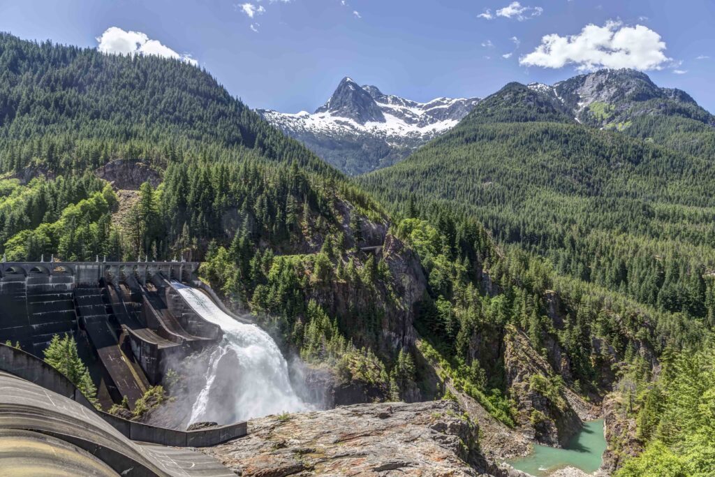
- Diablo Dam, Skagit River
-

- Skagit River Sunise
-
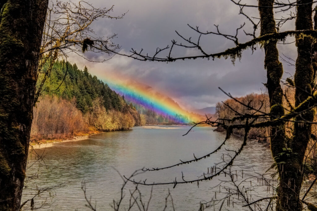
- Skagit Rainbow
-
- Early Morning
-

- Skagit River
-
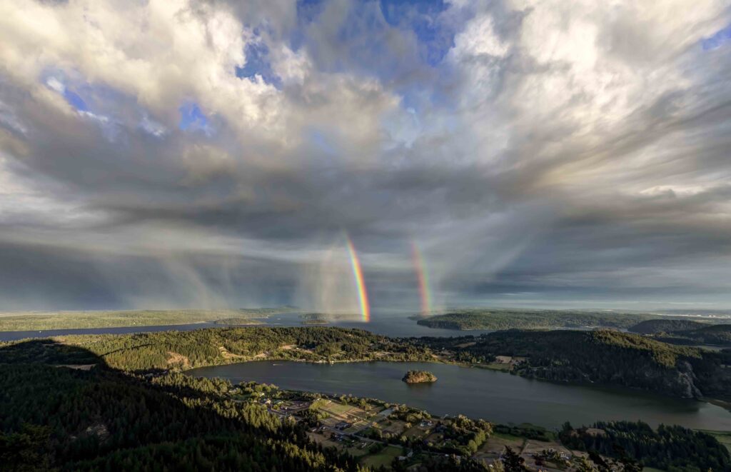
- Rainbows over the Mouth of the Skagit River
-

- Sauk Mountain and Skagit River
-
- South Fork Skagit River
-

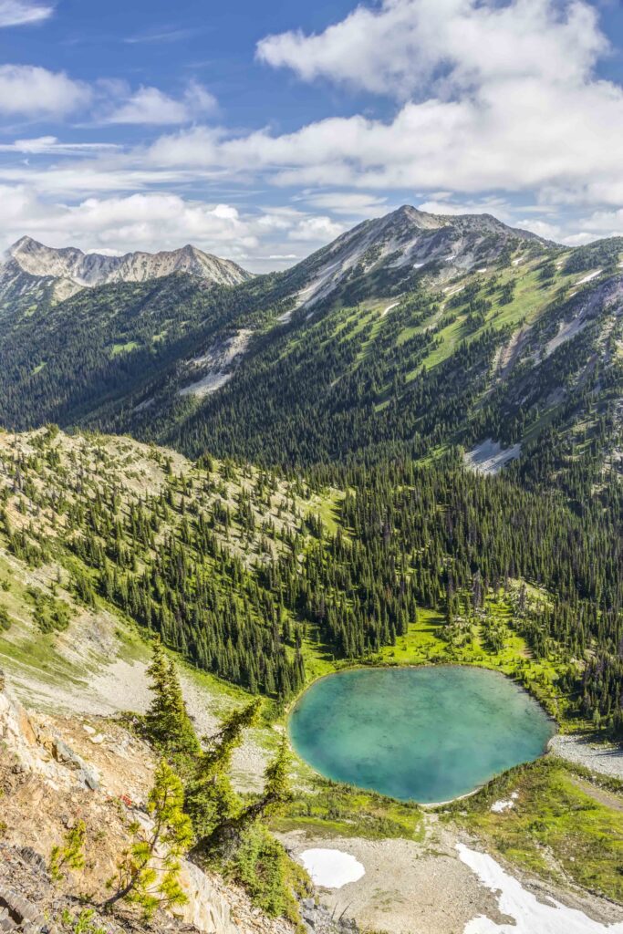
- Ross Lake
-

- Ross Lake Sunset
-
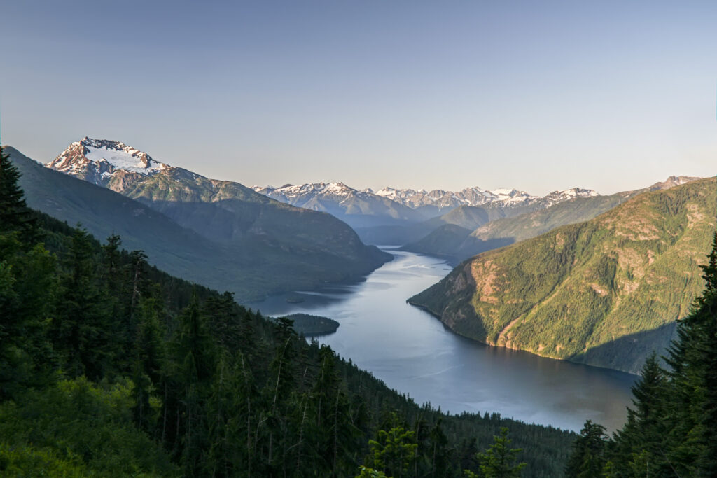
- Ross Lake from Desolation Peak
La Conner and Fir Island
The Skagit River splits into two channels just south of Mount Vernon creating Fir Island. The Town of La Conner is located on the Swinomish Channel, just north of the North Fork of the Skagit River.
-
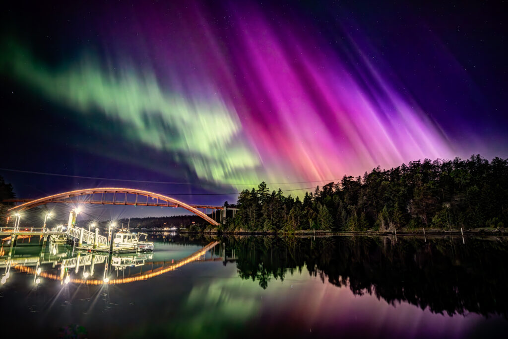
- Aurora over Rainbow Bridge, La Conner
-
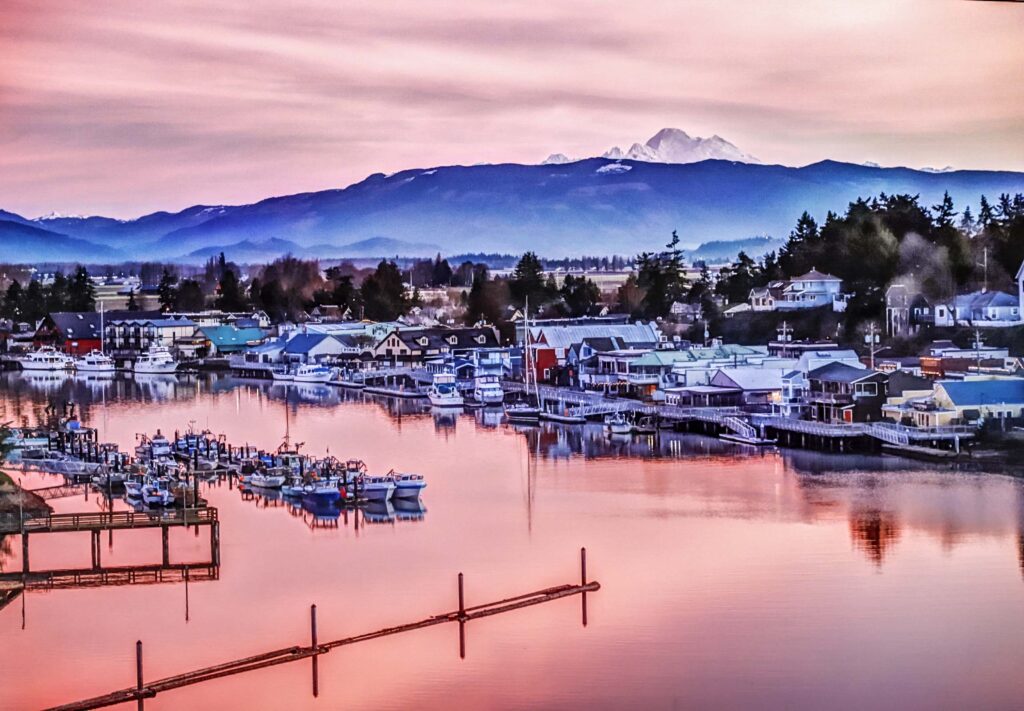
- La Conner
-
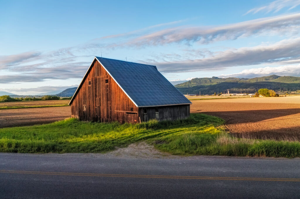
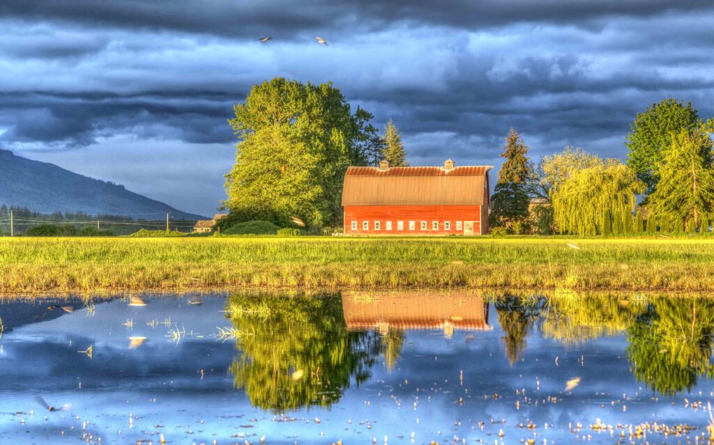
- Fir Island Barn
-

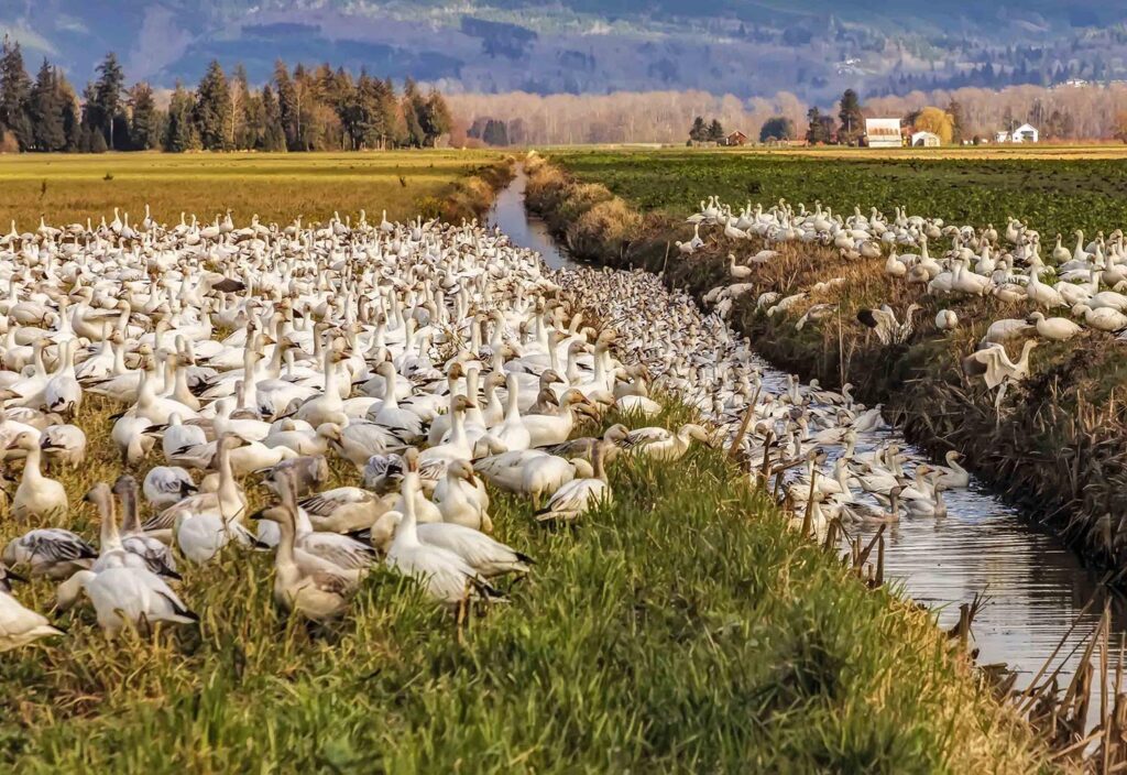
- Snow Geese
-
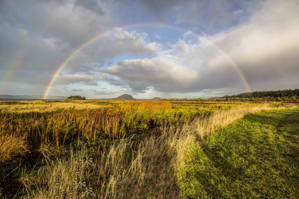
- Fir Island Rainbows
-
- Fir Island Barn
-
- Snow Geese
-

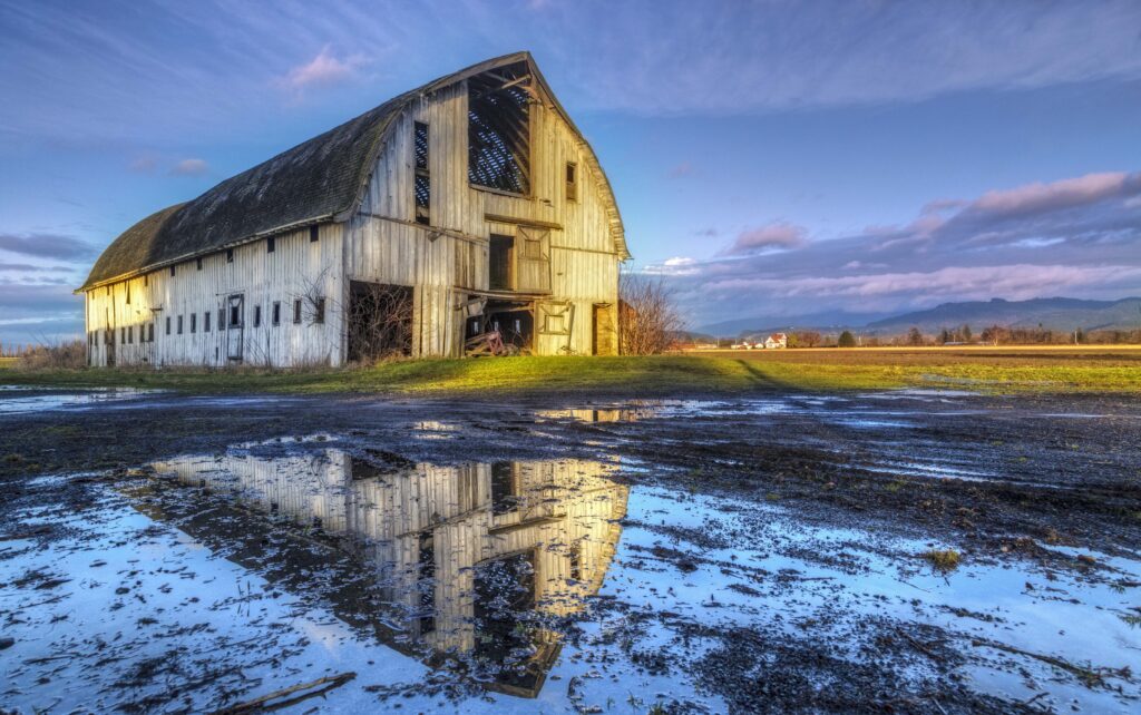
- Skagit Barn
The Valley
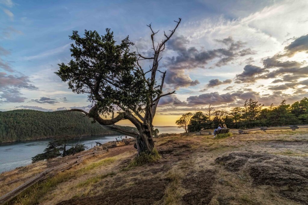
Skagit County extends from Cypress Island all the way east to the crest of the North Cascades. For 2 decades now Ive been exploring and searching. The beauty and ruggedness of the place pulls me. The madness and despair that comes with living in civilization drives me.
-

- Skagit Sunset
-

- Cypress Island Sunset
-

- Anacortes
-

- Tulip Fields
-

- Sedro-Woolley Carnival
-
- Samish River
-

- Skagit Valley from Big Rock
-

- Rainbows near Cape Horn
-
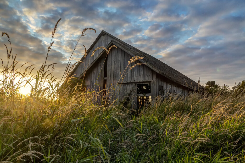
- Skagit Barn
-
- Padilla Bay
-
- Skagit Valley from Samish Overlook
-
- Skagit Barn
-
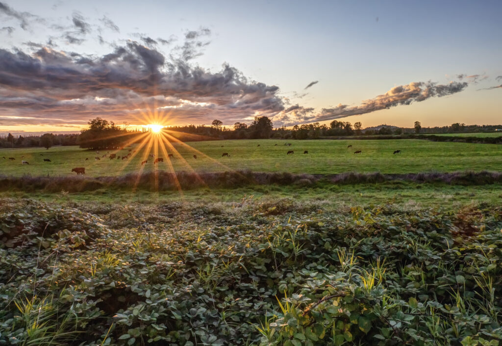
- Fields at Sunset
-
- Washington Park, Anacortes
-
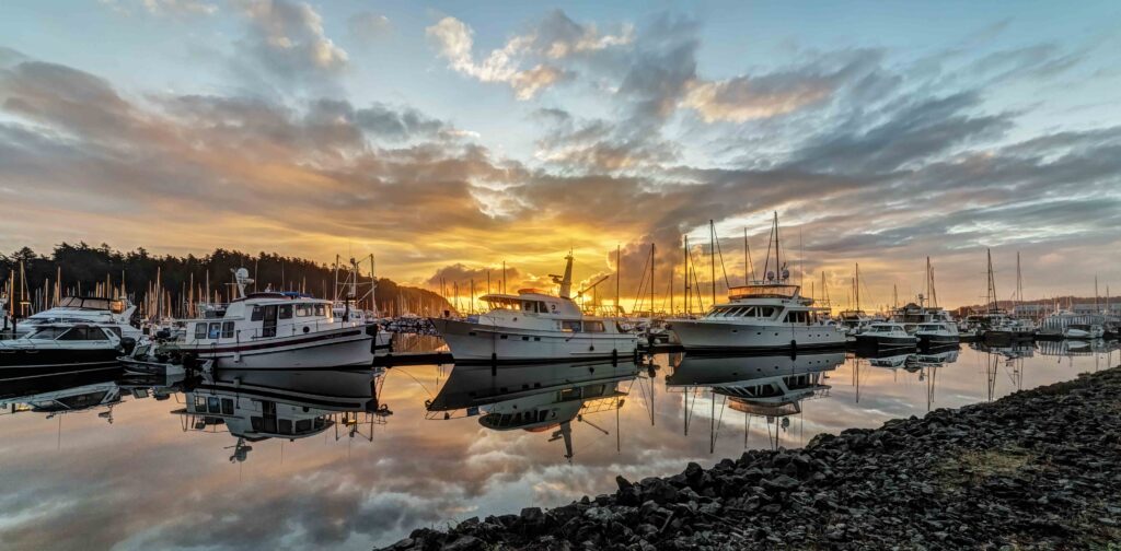
- Cap Sante Marina, Anacortes
-

- Skagit Valley Sunset
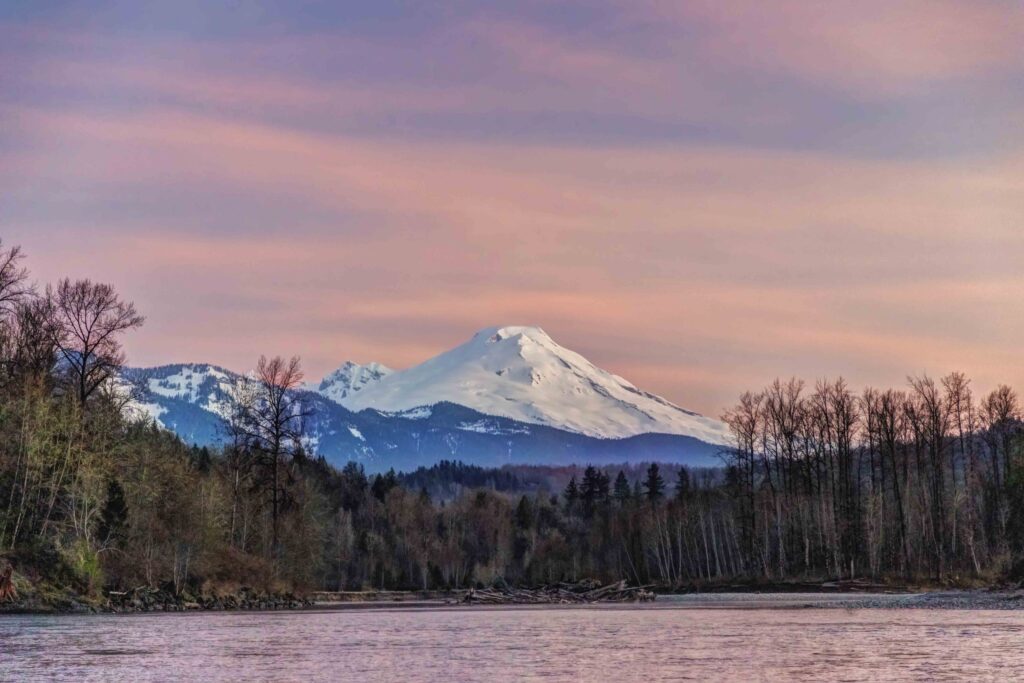
Mount Baker and Baker River
Mount Baker dominates Skagit Valley.
-
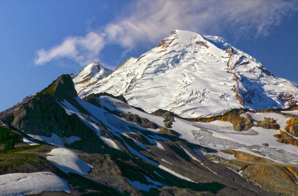
- Mt Baker
-

- Early Morning Light
-
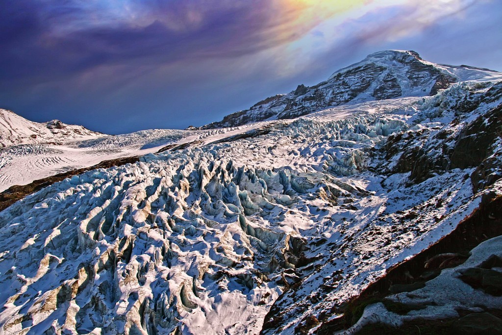
- Mount Baker and Coleman Glacier
-
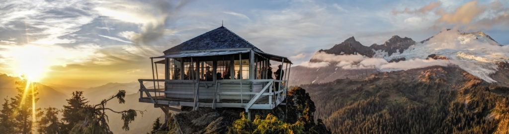
- Park Butte Lookout and Mt Baker
-

- Mt Baker and Skagit River
-
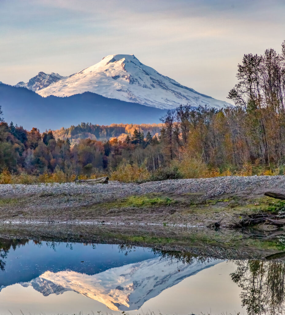
- Mt Baker Reflected.
-
- Baker Lake
-
- Baker River
-
- Baker Sunrise
-
- Mt Baker from Winchester Mountain
-

- Mt Baker from Baker Lake Road

-
- Mt Baker from Park Butte Trail
-
- Mt Baker from Cap Sante, Anacortes
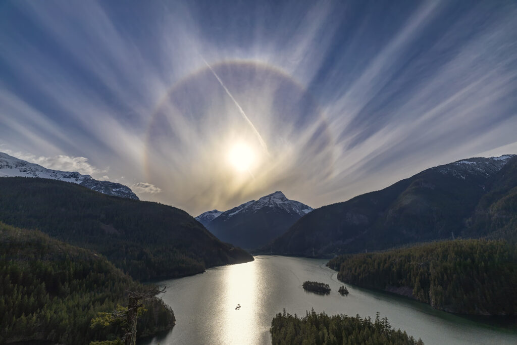
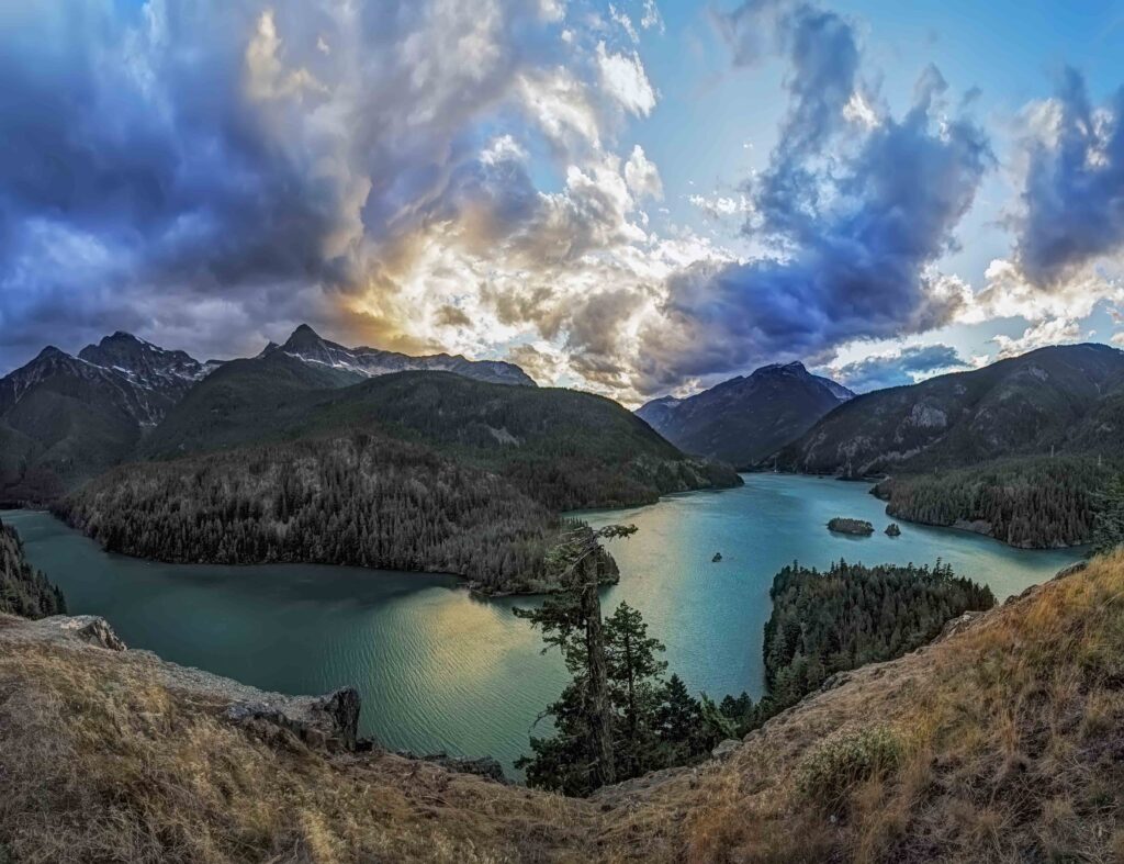
North Cascades Highway
-

- North Cascades Highway
-
- Liberty Bell from Washington Pass
-
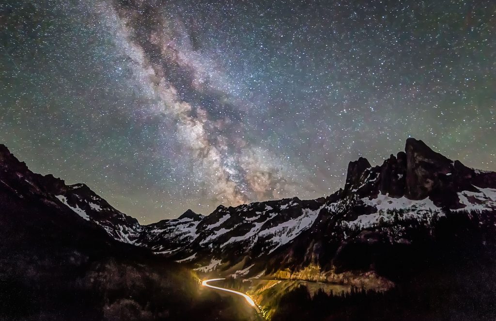
- Orion over Diablo Lake
-
- Diablo Lake
-
- Liberty Bell
-
- Diablo Lake
-

- Washington Pass
-

- Washington Pass
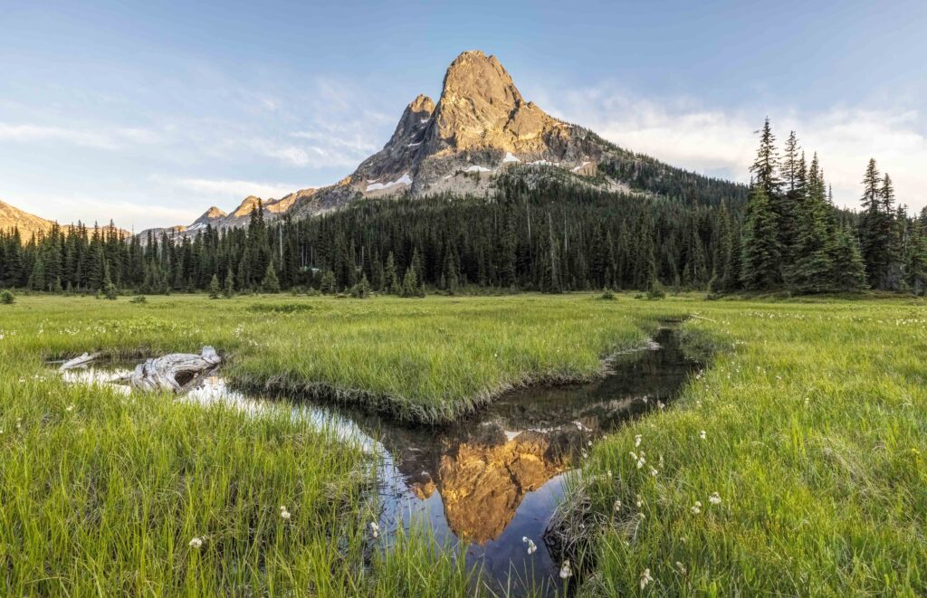
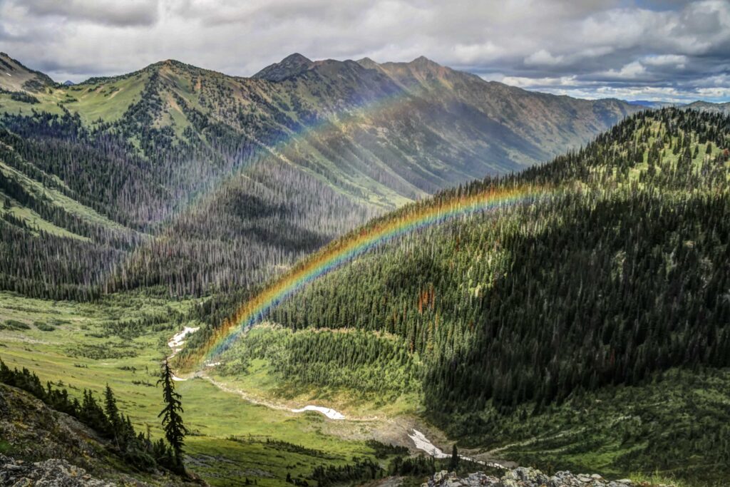
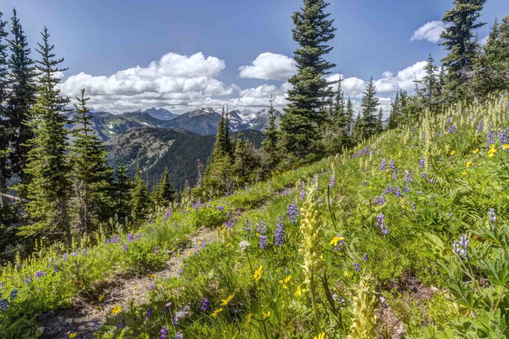
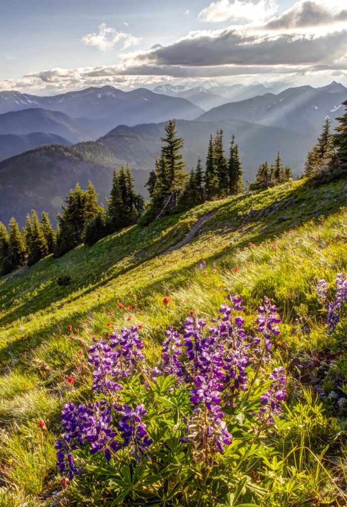
Pacific Crest Trail
Rock Pass and Lakeview Ridge are in the Pasayten Wilderness, at the northern end of the PCT. Hopkins Lake is just a few miles from the Canada Border.
-

- Pacific Crest Trail, near Rock Pass
-

- Pasayten Wilderness
-

- Devils Staircase, Pacific Crest Trail
-
- Rainbows from Rock Pass
-
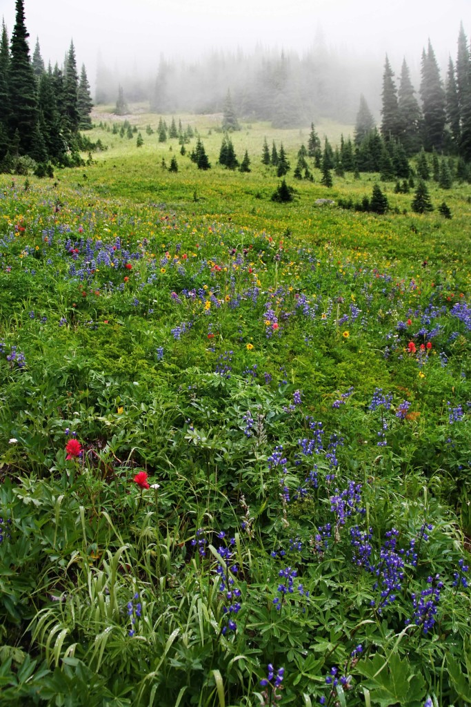
- Wildflowers in the mist, along the PCT in the Pasayten Wilderness
-
- Hopkins Lake and PCT
-

- Three Fools Peak from Lakeview Ridge
-

- Three Fools Peak, along the PCT
-

- Rock Pass
-
- Lakeview Ridge
-
- Sunset on the PCT – Lakeview ridge
-
- Wildflowers along the PCT
Recently I moved to La Conner and opened a Photography Gallery. Aluminum and Canvas Prints, Night Lights, Magnets, etc are there. I also teach Photography and Photoshop classes there in the Gallery. Its located at 306 Morris Street, in La Conner. Come by weekends or evenings for a visit.